Norwich
Maps
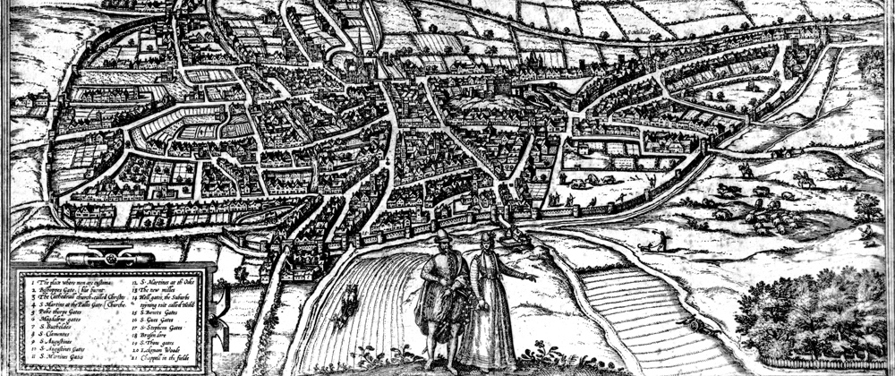
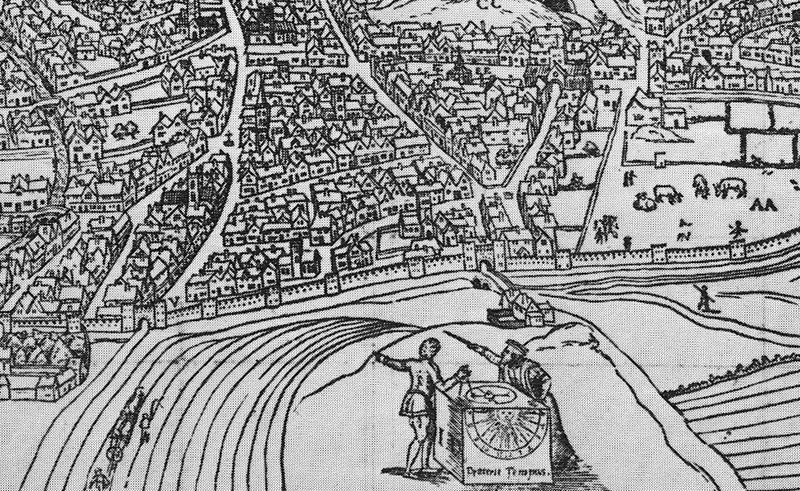
This map is a wonderful resource which gives a detailed view of Tudor Norwich - a time of reformation, revolt and fire. It is a remarkable artefact - even more so because despite the passage of time a number of the buildings pictured still grace the City's skyline. Tap the icon to discover more and see an annotated map with a 'zoomify' facility which magnifies the exquisite detail. In the top right-hand corner of the map use the 'landmark location' search to discover specific features.

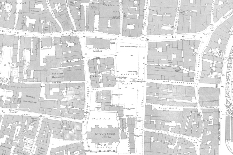
This is our most frequently accessed map. Clicking/tapping the button takes you to a simple search page where you can search for a yard or street. This can be used (maybe in conjunction with a census) to find where your family once lived.
In 1884 there were around 400 pubs in the central area of norwich (compared to around 60 today). These have been indexed and can be found on the 1884 map using zoomify to navigate around and zoom in and out. In most cases we link to the wonderful Norfolk Pubs website for historical details of the licensed premises.
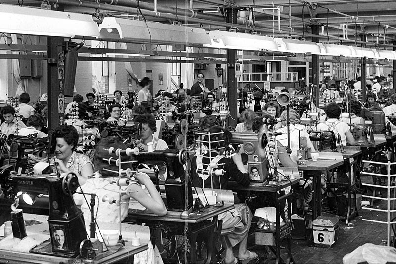
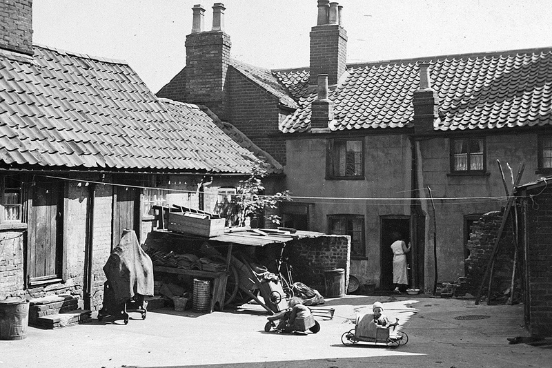
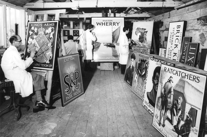
In the 1950s light industry flourished in Norwich with around 35% of the City’s workforce employed in manufacturing and construction. The main factories were based in the City with waves of cyclists arriving and leaving twice daily. By far the biggest sector was the shoe trade with a national reputation for high-quality footwear for ladies and children, employing more than 9000 people in approximately 20 factories based in and around the City centre.